Our solutions
U-SpaceKeeper is our streamline set of solutions composed of 3 modules, which build an ecosystem to safely integrate drones into the airspace.
U-SpaceKeeper
benefits
U-SpaceKeeper
benefits
reliable
A set of field proven solutions that support authorities and drone operators on evaluating risk and complexity of drone operations providing up to date information.
reliable
A set of field proven solutions that support authorities and drone operators on evaluating risk and complexity of drone operations providing up to date information.
collaborative
Our solutions were designed to guarantee the interconnectivity between authorities and drone operators through a platform that coordinates safe and efficient drone operations.
collaborative
Our solutions were designed to guarantee the interconnectivity between authorities and drone operators through a platform that coordinates safe and efficient drone operations.
permanent control
Have a strategic and tactical view of operations and traffic to support decision making for upcoming and current missions to ensure airspace safety.
permanent control
Have a strategic and tactical view of operations and traffic to support decision making for upcoming and current missions to ensure airspace safety.
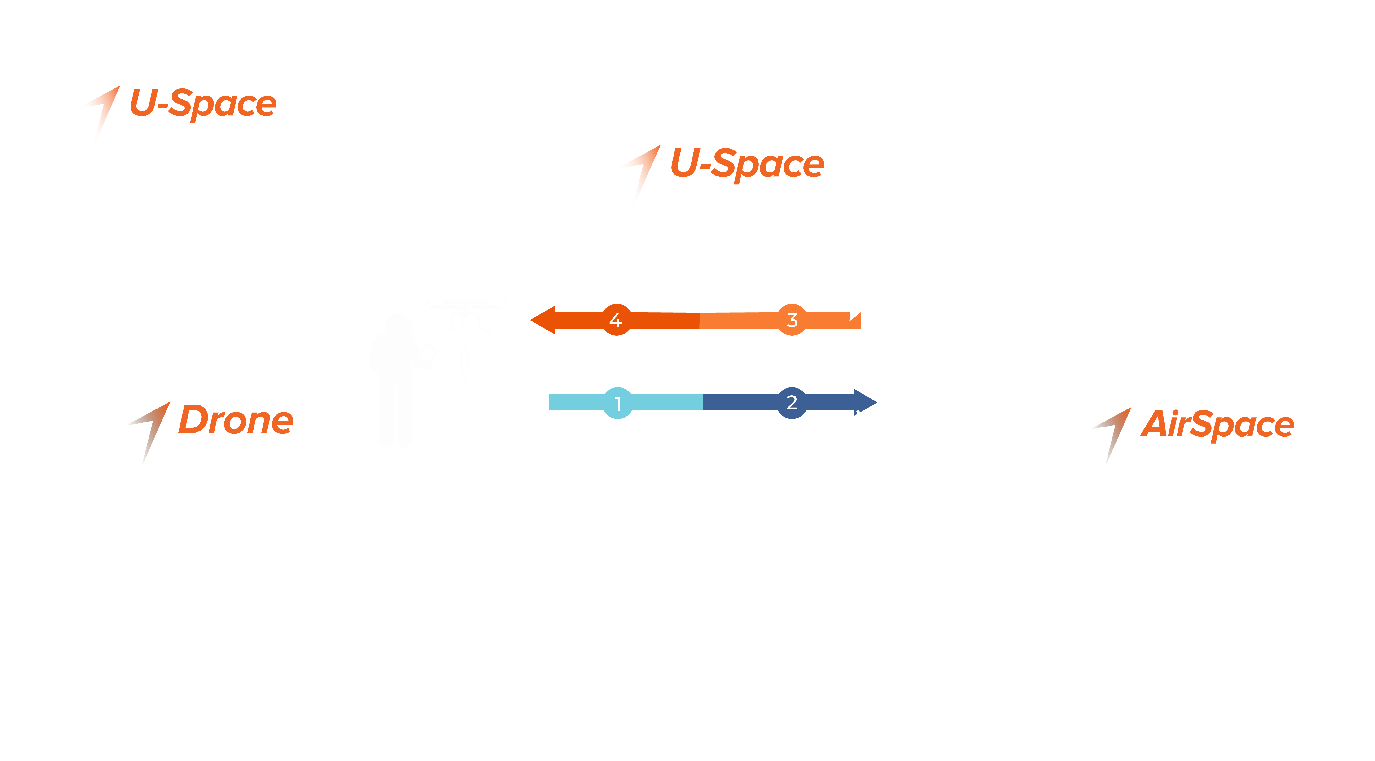
How does the suite work ?
discover the
3 modules
An advanced drone flight preparation and fleet management solution.

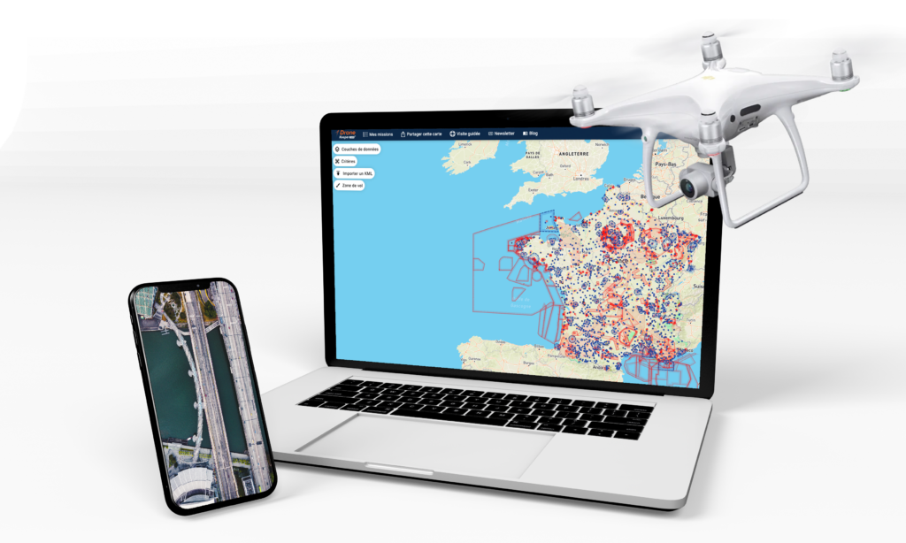
Have access to regulatory information, zone restrictions and NOTAMs. The system provides data collected from Drone Aeronautical Information Service.

Prepare your drone mission in only a few minutes. Define your flight zone, check the procedures to follow and request the flight authorization directly on the platform.

Manage your team and save time organizing your drone fleet operations. Follow up the team’s activity, handle the information flows and control the risks.

Select and export data to create reports for your organization.

A field-proven authorization management solution.

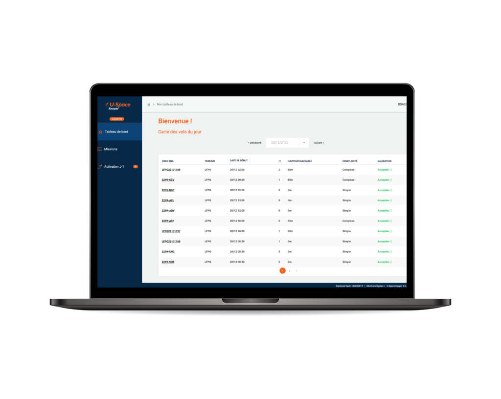
Simplify the reception and revision of drone missions. The system gathers and pre-analyzes missions based on the information provided to determine their compliance.

Personalize the validation process, set up automatic or manual authorizations according to the specific needs of your organization.

Apply constraints easily to prevent any conflict with other manned or unmanned activity.
Create “No fly zones” to clear the airspace when emergency operations are taking place.

Analyze authorized and rejected missions on a specific period of time.
Stock, transfer and download the database to facilitate the creation of reports for your organization.
A robust monitoring solution.

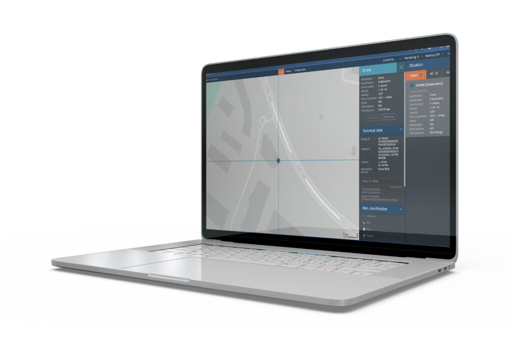
The system provides a consolidated air situation view allowing the identification of collaborative drones.
If unauthorized activities are detected our platform is able to send alerts.

Fixed and portable ground sensors complete our USpaceTracker solution. They collect data from GNSS, ADS-B, LTE and FLARM telemetries.
Traffic information is displayed on the software counterpart guaranteeing the surveillance of the airspace.
How does the suite work ?

discover the
3 modules
An advanced drone flight preparation and fleet management solution.

Have access to regulatory information, zone restrictions and NOTAMs. The system provides data collected from Drone Aeronautical Information Service.

Prepare your drone mission in only a few minutes. Define your flight zone, check the procedures to follow and request the flight authorization directly on the platform.

Manage your team and save time organizing your drone fleet operations. Follow up the team’s activity, handle the information flows and control the risks.

Select and export data to create reports for your organization.


A field-proven authorization management solution.

Simplify the reception and revision of drone missions. The system gathers and pre-analyzes missions based on the information provided to determine their compliance.

Personalize the validation process, set up automatic or manual authorizations according to the specific needs of your organization.

Apply constraints easily to prevent any conflict with other manned or unmanned activity.
Create “No fly zones” to clear the airspace when emergency operations are taking place.

Analyze authorized and rejected missions on a specific period of time.
Stock, transfer and download the database to facilitate the creation of reports for your organization.

A robust monitoring solution.

The system provides a consolidated air situation view allowing the identification of collaborative drones.
If unauthorized activities are detected our platform is able to send alerts.

Fixed and portable ground sensors complete our USpaceTracker solution. They collect data from GNSS, ADS-B, LTE and FLARM telemetries.
Traffic information is displayed on the software counterpart guaranteeing the surveillance of the airspace.
discover our atm solution
- Scheduling module was developed for the strategic phase, as an independent tool from existing airport systems. Scheduling saves considerable time by automating flight schedule management.
- Resource Management System (RMS) module supports airports to optimize the management of their resources.
- Airport Information Sharing, AMAN and DMAN modules are specially developed for the operational phase. Their aim is to provide all departments with the same tool for managing and monitoring the day’s flight handling operations.
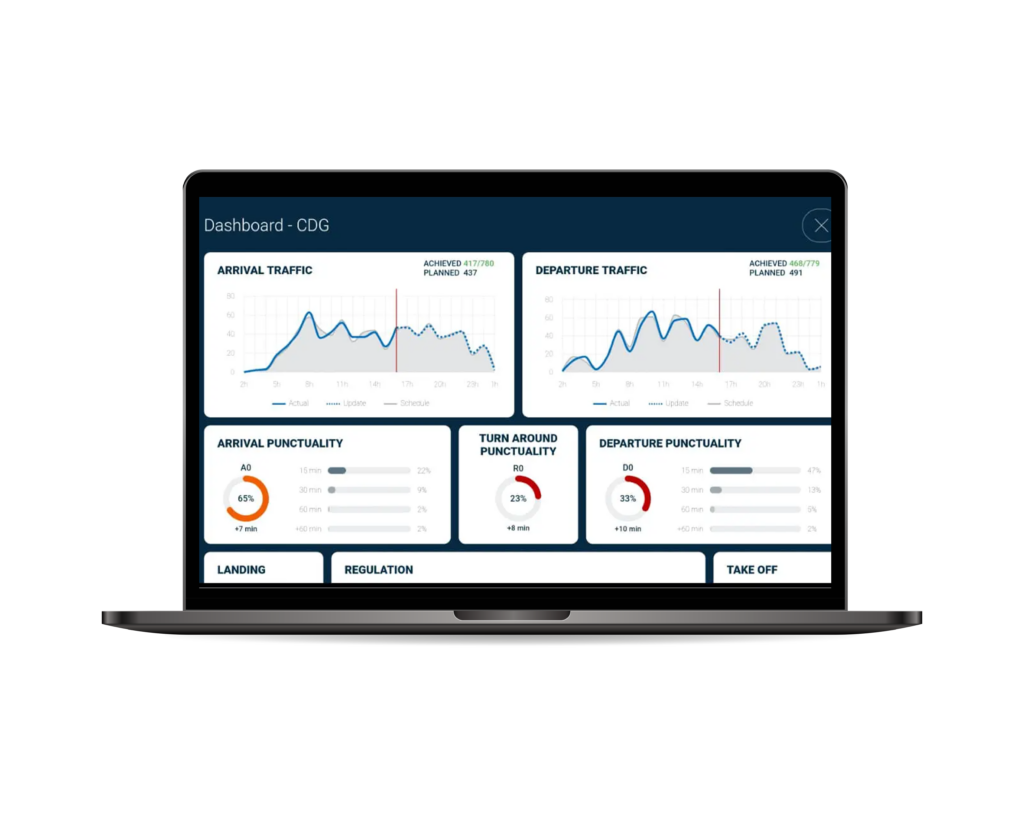

AirportKeeper is a modular application developed under the latest web technology and component-based architecture, facilitating the upgrade of future customers’ requirements. It provides several air traffic management tools to improve safety and reduce operation costs.

- Scheduling module was developed for the strategic phase, as an independent tool from existing airport systems. Scheduling saves considerable time by automating flight schedule management.
- Resource Management System (RMS) module supports airports to optimize the management of their resources.
- Airport Information Sharing, AMAN and DMAN modules are specially developed for the operational phase. Their aim is to provide all departments with the same tool for managing and monitoring the day’s flight handling operations.
